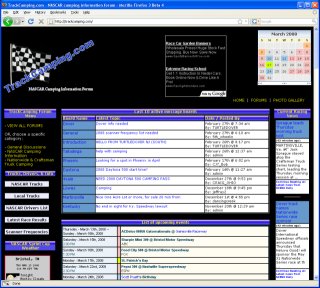
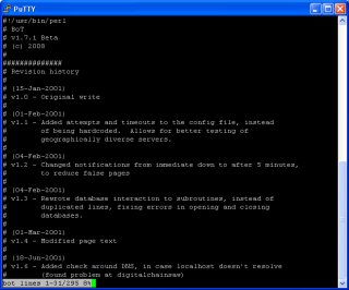
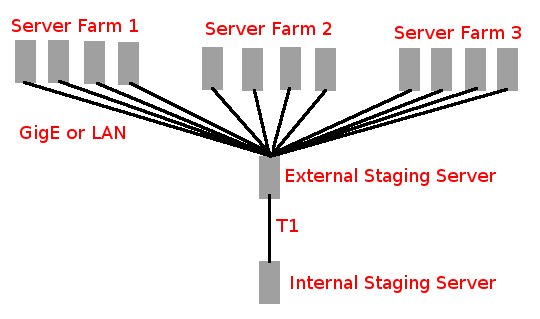
Following are some examples of sites I've worked on, created, or projects I've done over the years. Please read the full description to understand what was involved in each.
Who is JW Smythe?
Services I Provide
Pay For Services
Contact JW Smythe
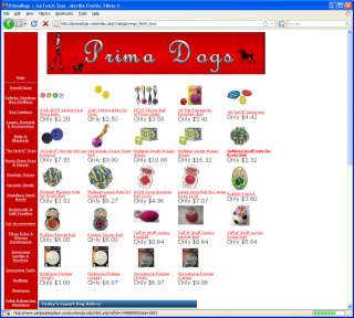
My eBay Store
Hardware Instructions
Hurricane Weather
SSL Certificate Generator
Bin/Hex/Dec/Base64 Converter
ROTx ROT13+ Solver
Electric V/A/W/Ω Calculator
IPv4 Subnet Cheat Sheet
Speedtest
Password Generator
Image Compressor
Keyboard Tester
Mouse Tester
Joystick/Game Controller Tester
Webcam Tester
Monitor Tester
Touchscreen Tester
Speaker Tester
Microphone Tester
USB Device Tester
Other Assorted Tools
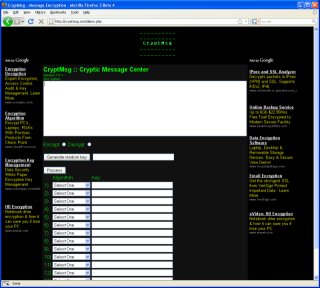
CryptMsgSecure Communications
Evil Overlord List
Excuses
Natal Anniversary Day
Privacy Policy